Yes, Route 66 is still drivable in 2026. The federal highway was dropped from the U.S. highway system in June 1985, after I-55, I-44, I-40 and I-15 had bypassed every mile of it, but the road itself never went away. About 85% of the early route is still drivable, as state highways, county roads, business loops and frontage roads running right beside I-40. The catch is that it is not one continuous signed road, and your phone will keep trying to put you back on the interstate.
I drove the whole route from Chicago to Santa Monica in April 2026, 23 days, recording coordinates as I went. Here is what Route 66 vs I-40 really looks like from behind the wheel, state by state, and how to stay on the old road when your map app has other plans.
Is Route 66 still open? What "decommissioned" really means
Decommissioned is a paperwork word. In June 1985 the American Association of State Highway and Transportation Officials removed US 66 from the numbered U.S. highway system. The pavement stayed where it was, and states and counties took over the pieces.
The interstates did the real work, and they did it slowly. By 1970, I-55 had replaced most of the road between Chicago and St. Louis, and I-44 had replaced most of it between St. Louis and Oklahoma City. The last holdout was Williams, Arizona, where lawsuits held up the final piece of I-40 until October 1984.
About 500 people gathered at the new Grand Canyon Boulevard exit for the bypass ceremony, and Bobby Troup sang his song with Williams added to the lyrics. With the whole route now bypassed, the federal designation was retired the following year.
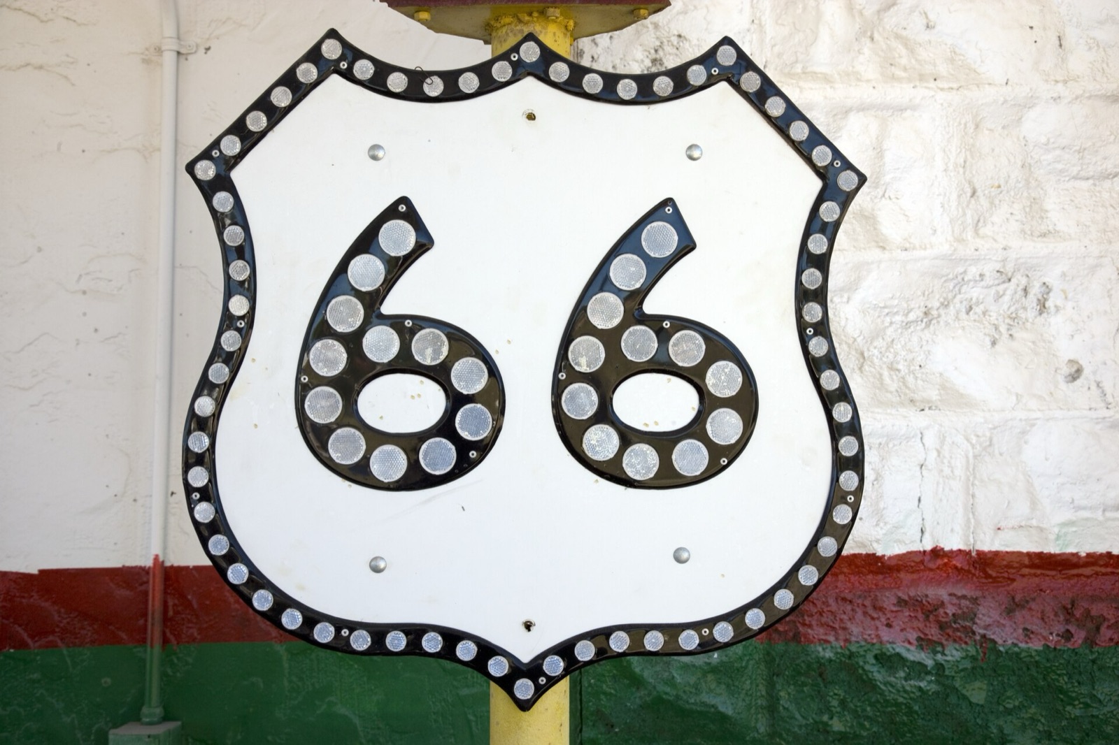
So when someone asks me whether Route 66 is still open, my answer is that it was never closed as a road. What disappeared were the federal shields and the through traffic. Many shields came back as "Historic Route 66" signs, but the signage is patchy, and you cannot count on it at every junction.
How much of Route 66 is left?
The number you will see most often, National Geographic included, is around 85% of the early route still drivable. That matches what I saw on the ground. Most of the missing share is old pavement that now sits under the interstate itself, plus a few segments closed by flood damage.
The share changes a lot from state to state. Oklahoma has more drivable miles of Route 66 than any other state, roughly 400 of them from Quapaw to Texola. Texas is the opposite case: outside the towns, the old road was mostly kept as the frontage road of I-40, so you spend long stretches driving parallel to the trucks.
Kansas is the odd one out. When I-44 opened in 1961 it crossed from Oklahoma into Missouri and missed Kansas by about a quarter mile, so the state's 13 miles of Route 66 were never paved over. They are still there, signed in part as K-66.
Which interstate replaced Route 66? A state-by-state table
Here is the short version. If you are driving the interstate in the middle column, the old road is somewhere alongside it, sometimes close enough to see out the window, sometimes buried underneath it.
| State | Interstate that replaced Route 66 | What is left of the old road |
|---|---|---|
| Illinois | I-55 | Long segments near I-55. In Darien, Willowbrook and Burr Ridge the old highway survives as the north frontage road. |
| Missouri | I-44 | Long segments beside or near I-44 from St. Louis to Joplin, with some pieces lost under the interstate. |
| Kansas | None. I-44 misses the state by about a quarter mile. | All 13 miles, partly signed as K-66. |
| Oklahoma | I-44 (including the Will Rogers Turnpike) to Oklahoma City, then I-40 west | About 400 drivable miles, the most of any state. |
| Texas | I-40 | Mostly the I-40 frontage road outside towns. Business loops through Shamrock, McLean, Groom, Vega and Adrian. |
| New Mexico | I-40 for the post-1937 route. The pre-1937 Santa Fe loop is roughly I-25 and US 84. | Frontage roads and business routes, plus 17 miles of gravel from Glenrio to San Jon. |
| Arizona | I-40 | Long rural stretches, including the 42-mile Oatman Road over Sitgreaves Pass. |
| California | I-40 from Needles to Barstow, then I-15 and I-215 into San Bernardino | National Trails Highway across the Mojave (partly closed east of Amboy), then Foothill Boulevard, Colorado Boulevard, Sunset Boulevard and Santa Monica Boulevard to the coast. |
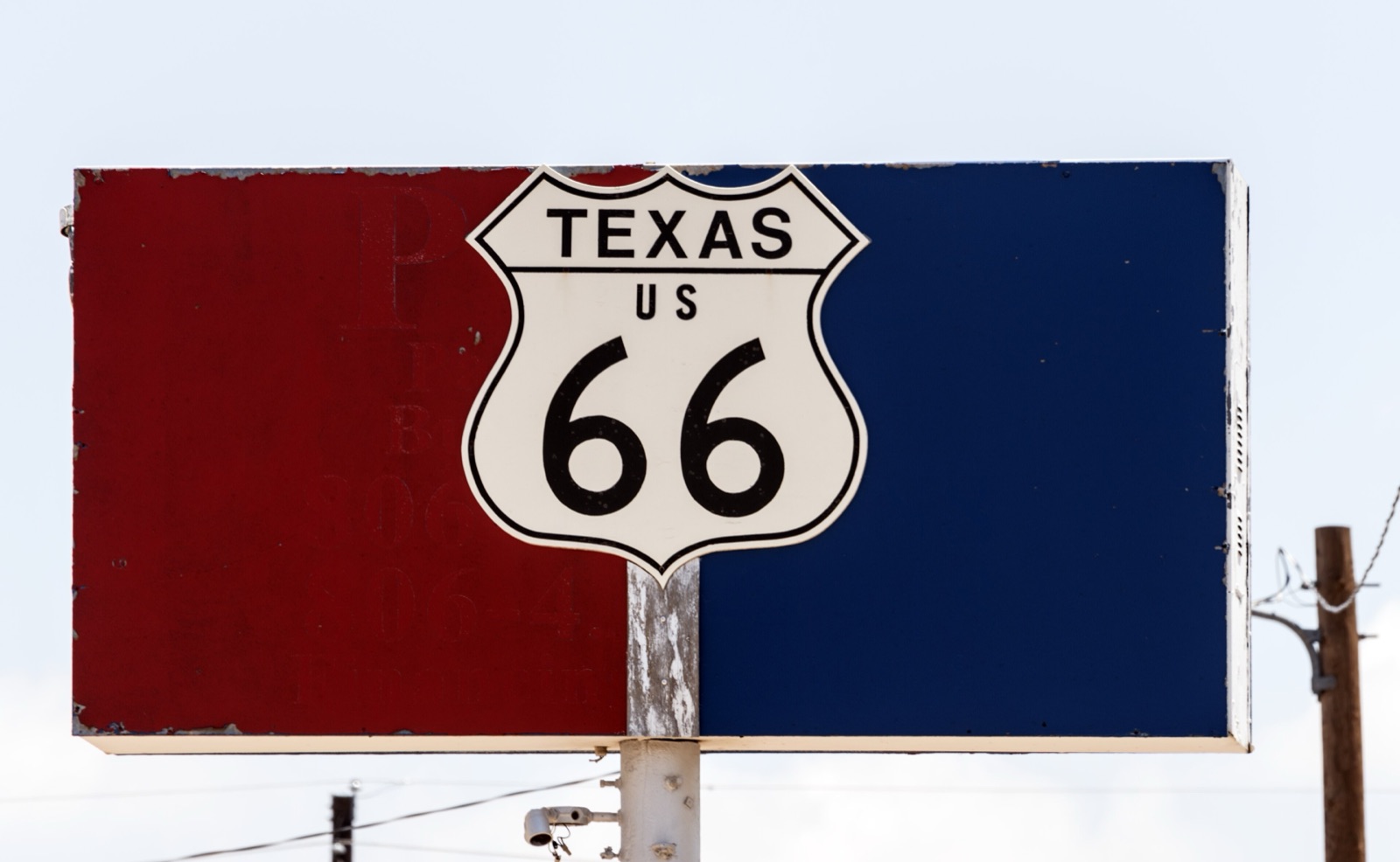
Where the old road runs right next to I-40
From the Texas Panhandle into New Mexico, a lot of Route 66 is a quiet two-lane strip running beside I-40. These frontage stretches are where most people give up. The old road is slower, the interstate is right there, and the trucks keep flying past.
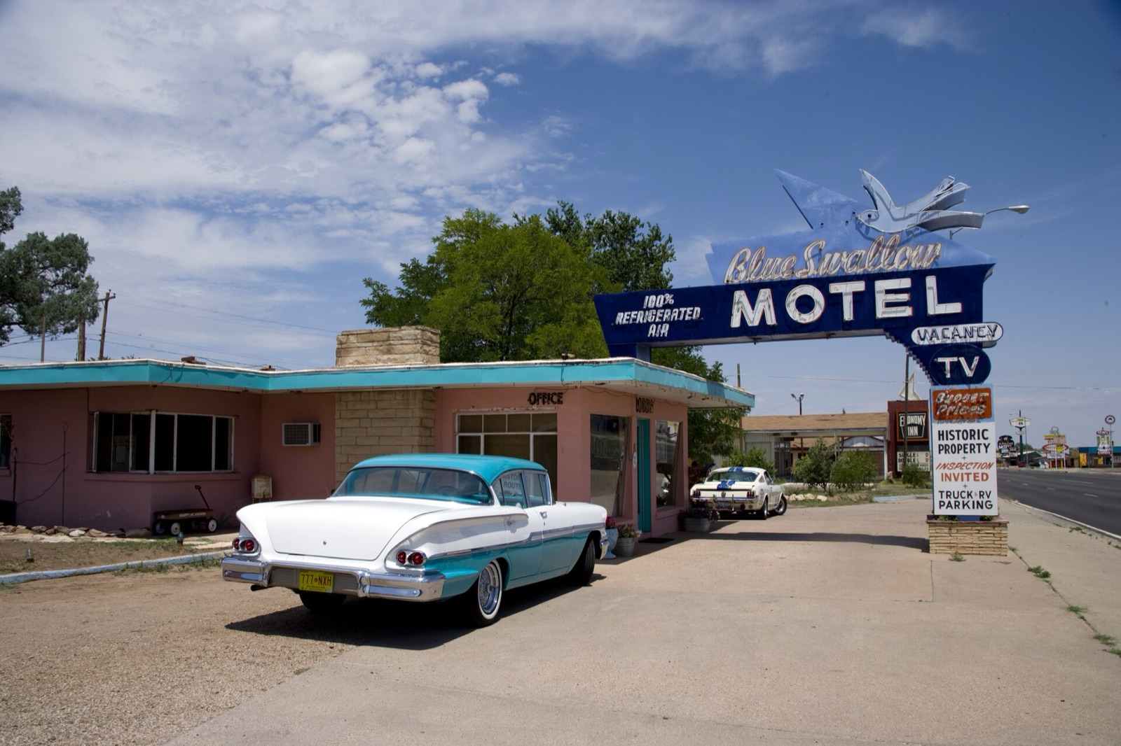
Stay on it anyway, at least in short doses. This is where the towns are. Adrian, Texas, sits right off the interstate, and the Midpoint Cafe marks the halfway point of the route at mile 1,139. Tucumcari's Blue Swallow Motel sits on the old road through town, just off I-40, and every room comes with its own garage, from $119.95 a night in 2026.
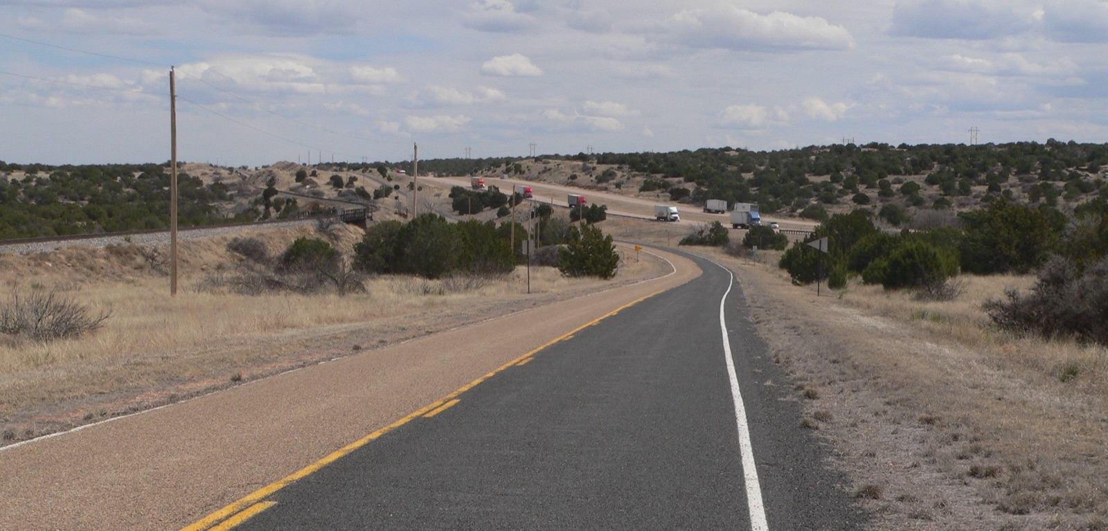
In places the frontage road simply stops, and you have to hop onto I-40 for an exit or two before the old road picks up again. That is normal and it is not cheating. The goal is to see the old road where it still exists, not to prove a point on the stretches where it is gone.
One frontage segment deserves a warning. Between Glenrio, on the Texas line, and San Jon, New Mexico, the original alignment is 17 miles of gravel. A May 2023 flood left the old timber bridge condemned for vehicles, and the county cut a gravel path through the creek bed. Reports say it is passable for most cars in dry weather, but not after rain, and the replacement bridge was not expected before the centennial. If it has rained, or storms are building, take I-40.
Closed and unpaved stretches to know about in 2026
The biggest closure on the route is in the California desert. Storms in September 2014 damaged about 40 bridges on the National Trails Highway, the county road that carries Route 66 across the Mojave. Barstow to Ludlow reopened in December 2022, and Ludlow to Amboy was open as of early 2025.
East of Amboy is a different story. In September 2025 San Bernardino County awarded a $24.1 million contract to replace ten 1930s timber bridges between Amboy Road and Kelbaker Road, with construction expected to run from fall 2025 to spring 2027. The stretch from Kelbaker Road east to Essex had already been closed for bridge work. The usual detour is I-40 and Kelbaker Road. Check the county's road closure page the week you drive, because this one changes.
Businesses close too, not only roads. On my drive I found the Cuervo Cafe in Santa Rosa closed, the River Valley Inn in Needles closed, and six motels red-tagged in Gallup. Older posts on free blogs may still list places like these. If a place matters to your plans, call ahead.
That is the reason I mark every closure as closed in the Route 66 Field Manual, and flag places with uncertain hours "verify operating status before travel." The rule I worked by was simple: "If we couldn't verify it, we left it out."
Oatman Highway and Sitgreaves Pass: the road the interstate skipped
West of Kingman, the old road and I-40 split for real. In the early 1950s Route 66 was moved to a flatter alignment through Yucca, the path I-40 follows today, and the climb over the Black Mountains was left behind. That older road is now the Route 66 Oatman Road Back Country Byway, 42 miles of two-lane blacktop designated by the Bureau of Land Management.
Sitgreaves Pass tops out at 3,586 feet, with hairpin curves and steep grades on both sides. Vehicles longer than 40 feet are not allowed over the pass between Golden Valley and Oatman, so leave the big RV or the trailer for I-40. Go slowly, use a low gear on the descent, and carry water, because the BLM warns about extreme heat and flash floods here.
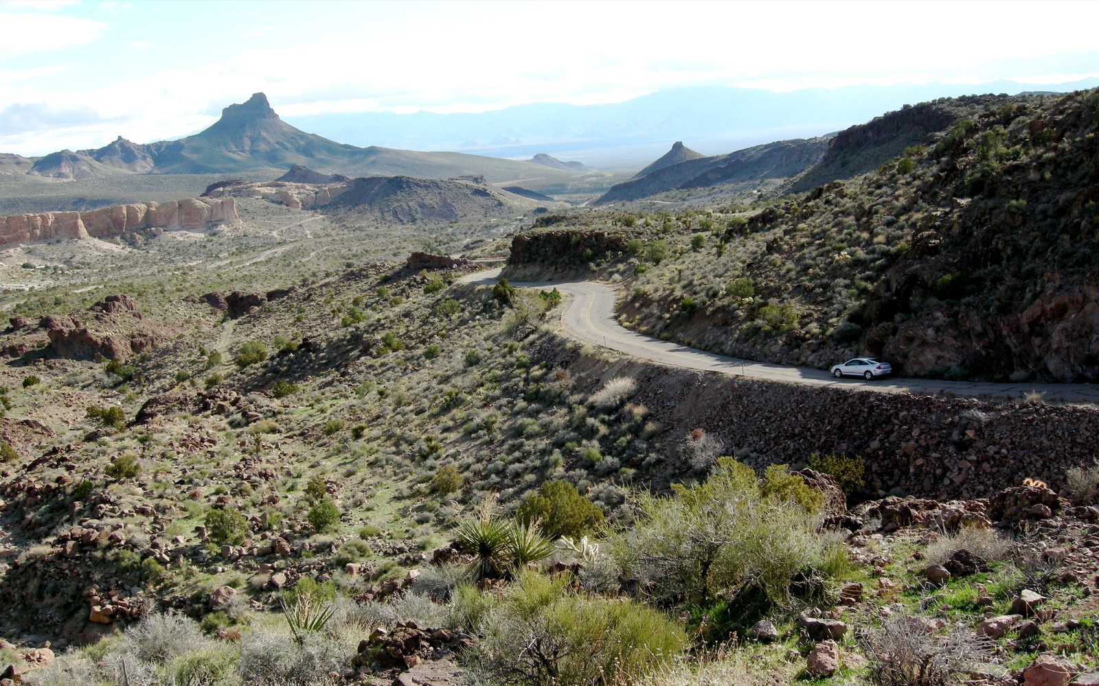
On the far side is Oatman, a former gold mining town where wild burros wander the main street during the day. They descend from animals the miners turned loose when the mines shut down, and they belong to a herd that lives on the surrounding BLM land. Visitors feed them, so they are used to people and cars. Take it slow through town.
Why your GPS keeps putting you back on I-40
Map apps are built to save time, and the interstate is almost always faster. Google Maps also does not treat Route 66 as one continuous road. Type in "Amboy" or "Tucumcari" and the app will draw the quickest line there, which usually means I-40 most of the way.
Here is what worked for me:
- Turn on "Avoid highways." In Google Maps it sits under Options. It keeps you off the interstate on the long rural stretches, though it can also send you down county roads that have nothing to do with Route 66, so check the line on the map.
- Break each day into short legs. Google Maps lets you add up to nine stops, final destination included. Use them for points on the old road, not for whole towns.
- Use coordinates instead of town names. A coordinate on the old alignment forces the app onto that road. A town name lets it choose its own way in.
- Download offline maps before the desert. Do it at the motel the night before, while you still have Wi-Fi.
Finding those coordinates yourself takes hours of cross-checking. The Field Manual's 105 GPS waypoints were recorded on site during the April 2026 drive, and its 169 maps (one overview, eight state maps, 31 segment maps and 129 town maps) show where the old road leaves the interstate and where it comes back. Closures are marked as closed, so you are not sent toward a dead end.
Route 66 or I-40: which should you drive?
My advice is to do both. Drive the old road where it has its own character, which means all of Kansas, most of Oklahoma, New Mexico's back roads and the Oatman Highway. Use I-40 for the frontage stretches when you are tired or behind schedule, and take the exits for the towns.
If you are still sketching your days, start with our Route 66 road trip planner. Book the motels early for the centennial, and our list of the best Route 66 motels is a good place to begin. If you can pick your season, read why I like Route 66 in the fall, and check the 2026 centennial events before you lock in dates.
The interstate replaced Route 66 on paper forty years ago. On the ground, most of the old road is still there, right beside I-40 in a lot of places, waiting for anyone willing to take the slower exit. Set the GPS before you leave, plan around the Mojave bridge work, and give yourself the extra hours. You will not regret them.