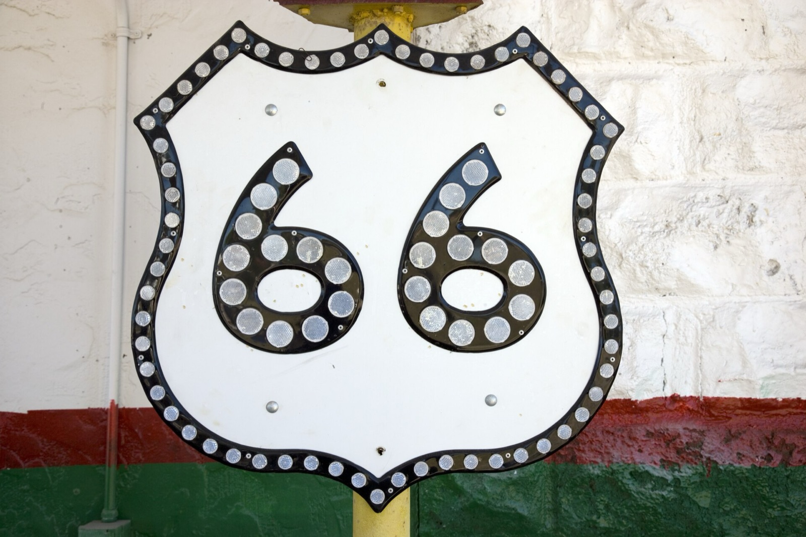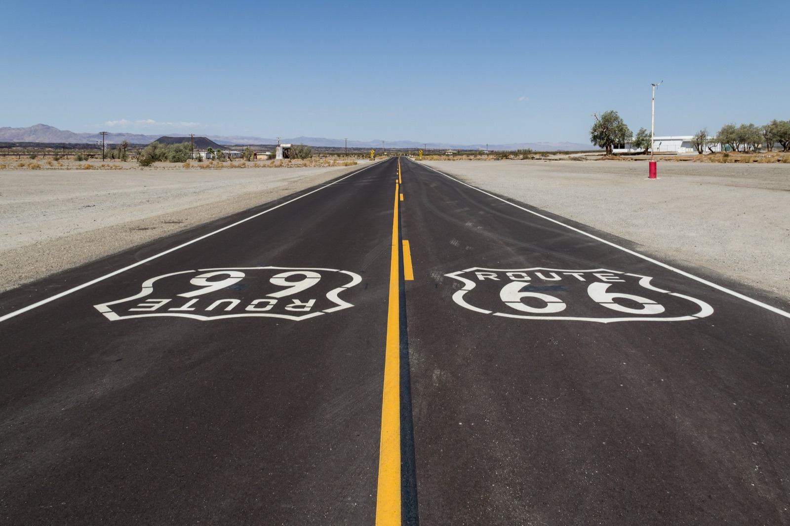
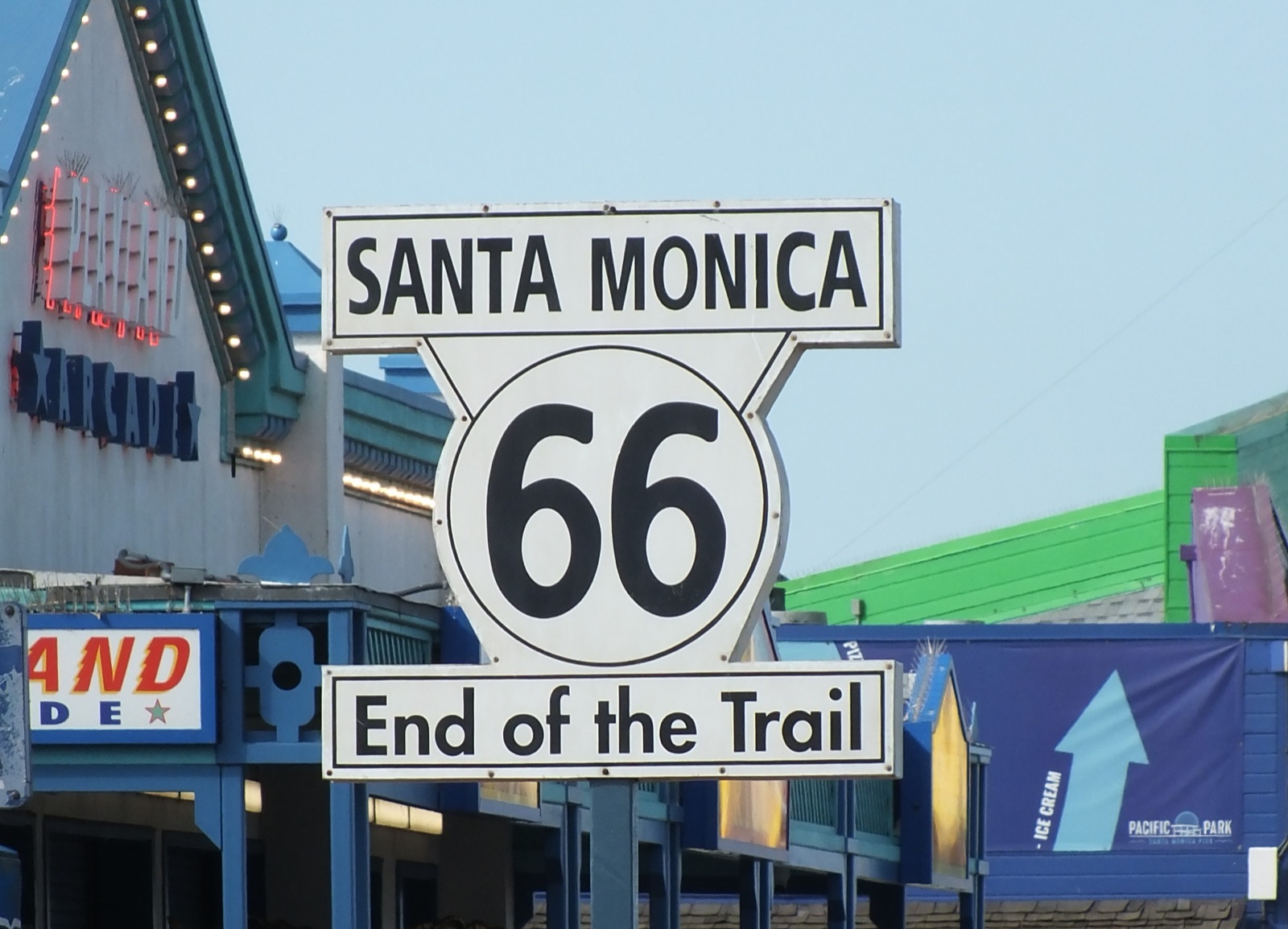
Where does Route 66 start and end? It starts in downtown Chicago, at the "Begin Historic Route 66" sign on Adams Street at Michigan Avenue, across from the Art Institute. It ends 2,448 miles later in Santa Monica, California. The official western end is the corner of Olympic and Lincoln boulevards, and the symbolic one, where everybody takes the photo, is the "End of the Trail" sign on the Santa Monica Pier, about a mile away. Since March 2026 Chicago also has a ceremonial start sign at Navy Pier.
I'm Helena, and I've stood under both of those signs more times than I can count, most recently on my April 2026 drive for the Centennial Edition of the Route 66 Field Manual. The short answer above is true, but it hides a good story: neither end of the road has stayed put. Here is where the signs are today, where they used to be, how to get to them, and which end I'd start from.
Where does Route 66 start? Adams Street and Michigan Avenue, Chicago
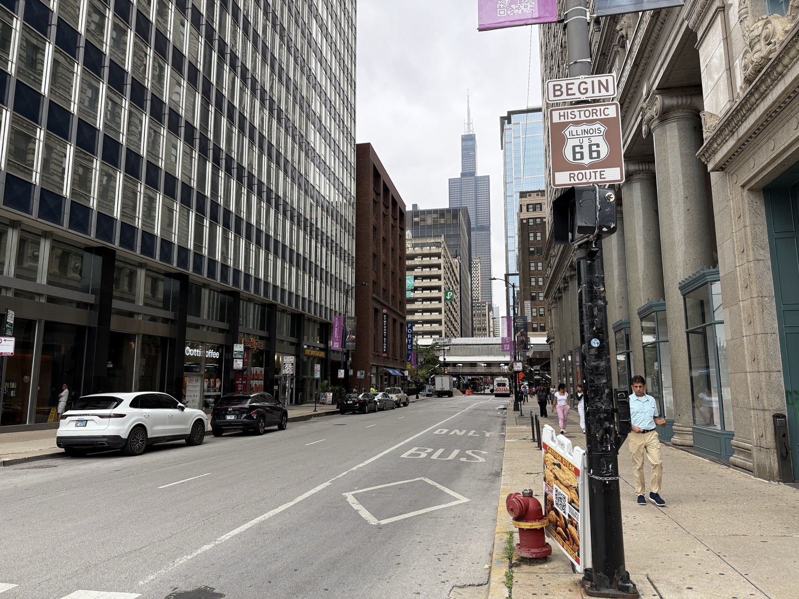
The eastern start of Route 66 is on Adams Street, at the corner of Michigan Avenue, in the Loop. The brown "Begin Historic Illinois U.S. Route 66" sign hangs on a pole on the westbound side of Adams, with the Art Institute of Chicago across Michigan Avenue behind you and the Willis Tower straight ahead down the street.
That direction matters. Adams is a one-way street heading west, which is exactly the direction you're about to drive for the next three weeks or so. The first mile of the Mother Road takes you away from the lake, under the elevated tracks and out toward Ogden Avenue and Cicero.
Why there are two Chicago streets: Jackson and Adams
When Route 66 was created on November 11, 1926, it didn't start on Adams at all. The original eastern end was one block south, at Jackson Boulevard and Michigan Avenue, because Michigan Avenue was US 41 and highways had to meet other highways.
In 1938, US 41 was moved over to Lake Shore Drive, and Route 66 followed it. The road was extended two more blocks east along Jackson, through Grant Park and past Buckingham Fountain, to end at Lake Shore Drive on the edge of Lake Michigan.
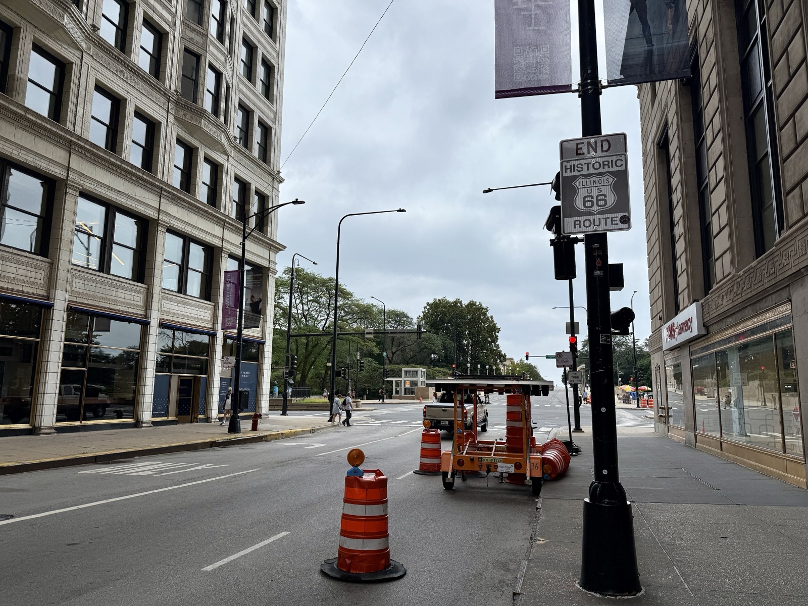
Then, in 1955, Jackson Boulevard became one-way eastbound for good. From that point the route was split in the Loop: eastbound traffic stayed on Jackson, and westbound traffic moved one block north to Adams Street. That's why the Begin signs are on Adams and the "End Historic Route 66" signs are on Jackson, both at Michigan Avenue.
So if you're finishing a west-to-east trip, don't look for the end on Adams. Your last sign is on Jackson, a block south.
The new Navy Pier sign
On March 25, 2026, Chicago unveiled a new ceremonial Route 66 starting sign at Navy Pier, on the South Dock outside Harry Caray's Tavern. It's part of the centennial, and the idea is simple: Santa Monica has a pier at the western end, so now Chicago has one at the eastern end, and the whole road becomes a pier-to-pier trip.
The Navy Pier sign is about a mile and a half from Adams and Michigan. It makes a lovely first photo, especially with the lake behind it, but it isn't on the historic road. Take your picture there, then drive or walk down to Adams Street for the real start. Your Route 66 mileage begins at Michigan Avenue.
Where does Route 66 end? Santa Monica, in two places
Route 66 ends in Santa Monica, and here you get two answers again: an official one and a sentimental one.
The official western end is the intersection of Olympic and Lincoln boulevards, where Route 66 met US 101 Alternate. Federal highway rules didn't let a U.S. highway simply dead-end at the beach, so the road stopped where it joined another one. Today there are End and Begin markers at that corner, and a Mel's Drive-In stands in the late-1950s building that used to be the Penguin coffee shop.
The sentimental end is the Santa Monica Pier. The "Santa Monica 66 End of the Trail" sign was dedicated there on November 11, 2009, Route 66's 83rd birthday, after Dan Rice, who ran the 66-to-Cali shop on the pier, brought back a design that had stood near the end of the road decades earlier. It's the one in every road-trip photo album, including mine.
As Dan Rice put it to National Geographic in January 2026, the highway couldn't go out onto the pier, but that's where people went once they got to Lincoln and saw the ocean. I think that's exactly right. The pier is where the trip ends emotionally, even if the asphalt technically stops a mile inland.
How the western end moved: Seventh and Broadway to the ocean
Route 66 didn't reach the Pacific at first. From 1926, the western end was in downtown Los Angeles, at Seventh Street and Broadway. The road stopped in the middle of the city, miles from the coast.
On January 1, 1936, the route was extended west to Santa Monica, following Santa Monica Boulevard to Lincoln and down to Olympic. That's the version of the road that ran for the next fifty years, until US 66 was removed from the federal highway system in 1985.
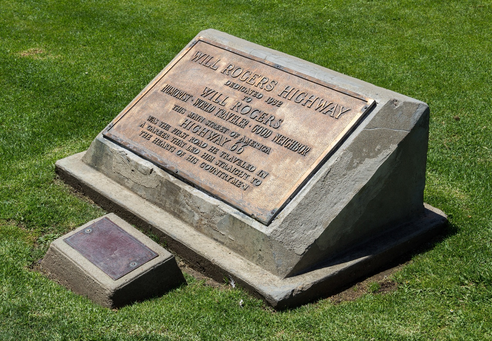
There's one more marker worth knowing about. In 1952, as a promotion for a Warner Bros. film about Will Rogers, Route 66 was dedicated as the Will Rogers Highway, and a bronze plaque was set in Palisades Park, at Ocean Avenue and Santa Monica Boulevard. It reads, in part, "This Main Street of America, Highway 66, was the first road he traveled in a career that led him straight to the hearts of his countrymen." It's a five-minute walk from the pier entrance, and almost nobody stops.
Route 66 start and end points at a glance
Here's every endpoint in one place, so you know which sign you're looking at.
| End | Location | Years | What's there today |
|---|---|---|---|
| East, original | Jackson Blvd and Michigan Ave, Chicago | 1926 to 1938 | End signs for eastbound drivers on Jackson |
| East, extended | Jackson Blvd at Lake Shore Drive, past Buckingham Fountain | 1938 onward | Grant Park and the lakefront, no Route 66 sign |
| East, westbound start | Adams St and Michigan Ave, Chicago | 1955 onward | The Begin Historic Route 66 sign |
| East, ceremonial | Navy Pier, South Dock, Chicago | Since March 25, 2026 | New centennial start sign, about 1.5 miles from Adams |
| West, original | Seventh St and Broadway, Los Angeles | 1926 to 1935 | Downtown Los Angeles, no end marker |
| West, official | Olympic and Lincoln blvds, Santa Monica | From January 1, 1936 | End and Begin markers, Mel's Drive-In |
| West, symbolic | Santa Monica Pier | Since November 11, 2009 | The End of the Trail sign |
How to get to the Route 66 start sign in Chicago
Downtown Chicago is not a place to start a road trip in a hurry, so I treat the Begin sign as a morning on foot before I ever pick up the car.
- Without a car: the Adams/Wabash station on the Loop elevated is one block west of Michigan Avenue, and the sign is a two-minute walk from the platform stairs.
- With a car: don't plan on stopping on Adams. It's a busy one-way downtown street with a bus lane on the curb side. Park in a garage, walk over for the photo, and then start driving.
- Breakfast first: Lou Mitchell's, at 565 West Jackson Boulevard, has been feeding Route 66 travelers since 1923, three years before the road had a number. The current building dates to 1949, and they still hand out donut holes while you wait in line. It's on the old eastbound route, so it fits the story perfectly.
If your rental pickup is at O'Hare or Midway, it's worth taking the train in for the photo and breakfast, then collecting the car. Driving into the Loop and straight back out is the least fun hour of the whole trip.
How to get to the end of Route 66 in Santa Monica
On the last day, I follow the old road in on Santa Monica Boulevard, then make two stops: Olympic and Lincoln first, for the official end, and the pier last, for the celebration.
- Olympic and Lincoln: look for the End and Begin markers at the intersection, and park at Mel's if you want a burger to mark the moment.
- The pier: the End of the Trail sign stands on the pier itself, out past the bridge from Ocean Avenue and Colorado Avenue. You can drive onto the pier deck and park there, but in summer and on weekends that lot fills early.
- Without a car: the Metro E Line ends at Downtown Santa Monica station, a short walk from the pier.
Plan the final day short. Los Angeles traffic between San Bernardino and the coast can turn 80 miles into an afternoon, and you don't want to reach the end of the trail in the dark.
Route 66 start and end signs: photo tips
Everyone wants the same two pictures, so a little timing goes a long way.
- Chicago: go early on a weekend morning, when Adams Street is nearly empty. The sign is mounted high on a pole, so step back toward Michigan Avenue and shoot west, which puts the Willis Tower in the frame.
- Navy Pier: go on a weekday morning, before the pier fills up, and frame the sign with the lake behind it. It's the photo to send home on day one.
- Santa Monica Pier: the sign is in the middle of the busiest part of the pier. Arrive soon after sunrise, before the crowds, or come back at sunset for the light over the water and accept that strangers will be in the shot.
- Olympic and Lincoln: it's a traffic intersection, not a monument. Photograph the markers from the sidewalk, never from the median.
One tip that has nothing to do with cameras: take a photo of your odometer at the Begin sign. On the pier, you'll be glad you did.
East to west or west to east?
I drive east to west, from Adams Street to the pier, and I recommend it to almost everyone. It's the direction the road was traveled in its most famous decades. The story builds from Illinois farm towns to open desert, and you finish at the Pacific instead of in Chicago rush hour. Ending on a pier, with the ocean in front of you, is hard to beat.
West to east has its fans, and real advantages. You get the desert done early, before the summer heat peaks, and you end with Chicago's food and museums. One-way rental fees can also differ by direction, so price it both ways before you decide.
If you do go west to east, remember the signs flip. You'll start at the official end at Olympic and Lincoln, or at the pier, and your last photo in Chicago will be the End sign on Jackson Boulevard, not the Begin sign on Adams. For the full reasoning on direction, seasons and days, see my Route 66 road trip planner.
What lies between the two ends
Between Adams Street and the pier are eight states: Illinois, Missouri, Kansas, Oklahoma, Texas, New Mexico, Arizona and California. That's roughly 301 miles in Illinois, 317 in Missouri, 13 in Kansas, 432 in Oklahoma, 186 in Texas, 487 in New Mexico, 401 in Arizona and 316 in California. Every town in order is on my Route 66 map with cities, and the halfway point, at mile 1,139, is the Midpoint Cafe in Adrian, Texas.
If you're trying to decide how long to give the whole road, I'd start with how long Route 66 takes, then use my two-week Route 66 itinerary to see how each night falls. Day 1 starts at the Begin sign, and day 14 ends on the pier.
Two signs, one road
Route 66 starts at a pole on Adams Street and ends at a sign on a pier, and in between it moved, split and stretched more than once. I love that about it. The endpoints are part of the story, and knowing which one you're standing at makes the photo mean more.
Stand under the Begin sign, take the picture, and then let the road do the rest. When you want every mile between them planned, the Route 66 Field Manual covers all 2,448, with 105 GPS waypoints you can tap instead of typing a town name, and the printed book and digital edition come together in one order for $47.